Government, Survey & GIS

Mapping, survey and records technology for the public sector.

Government agencies and survey organisations use CDSS to capture, map and preserve the information public infrastructure depends on — from reality modelling and civil design to scanning and digitising decades of paper maps and plans.

How we help

Capabilities for Government, Survey & GIS teams.

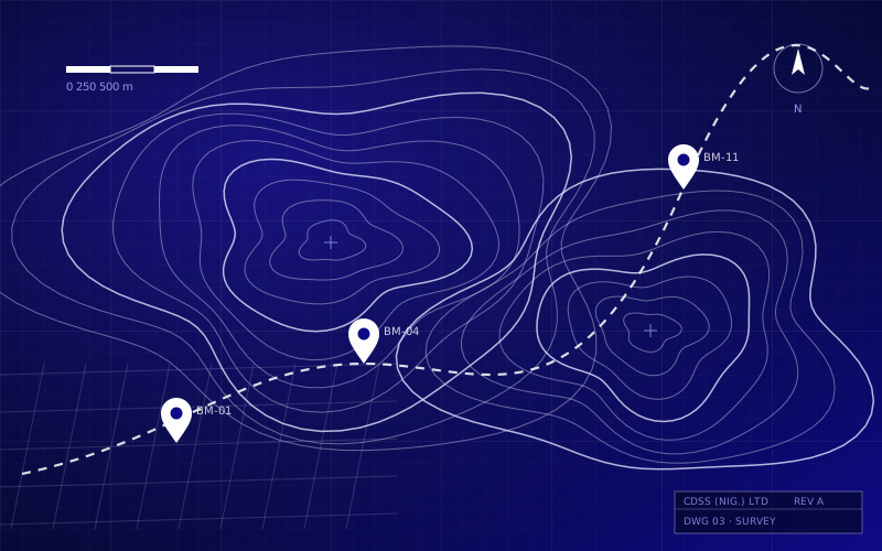
Mapping & GIS

Mapping, survey and geospatial drafting with MicroStation, Civil 3D and InfraWorks.

Reality modelling

Accurate 3D models from photographs and laser scans with ContextCapture and ClearEdge3D.

Map & plan digitisation

Large-format scanning of maps and plans up to 60″ wide with Contex scanners.

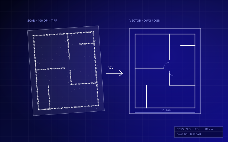
Raster-to-vector

Converting scanned maps into editable CAD with GTX RasterCAD and ImageCAD.

Records management

Secure indexing, storage and retrieval of digitised records with FileHold.

Engineering services

Drafting and mapping support for GIS clients on a man-hour basis.

Selected clients

Trusted in the public sector.

A sample of organisations in this sector that have worked with CDSS.

Names are listed as a factual record of relationships, not as endorsements.

Kaduna Geographic Information Service (KADGIS)
National Steel Raw Materials Exploration Agency
Get in touch

Ready to talk about your next project?

Tell us what you are working on. We will recommend the right software, hardware, training or support plan.